Piliwale Ridge to K-2, back to K-1 and Nuuanu Reservoir

This one was written up as a very difficult hike. We actually had a bit of hesitation based on some of the write ups we had seen posted. We carried two 75 feet rope sections with us just in case we found any points in need of new rope.

IMG_0464
Piliwale Ridge at the notch
IMG_0466
Most of the steep areas were solid rock faces and very stable.
IMG_0470
View just 1 foot from where I was standing. It is very steep in places.
IMG_0499
Great views back to Kailua and the quarry.

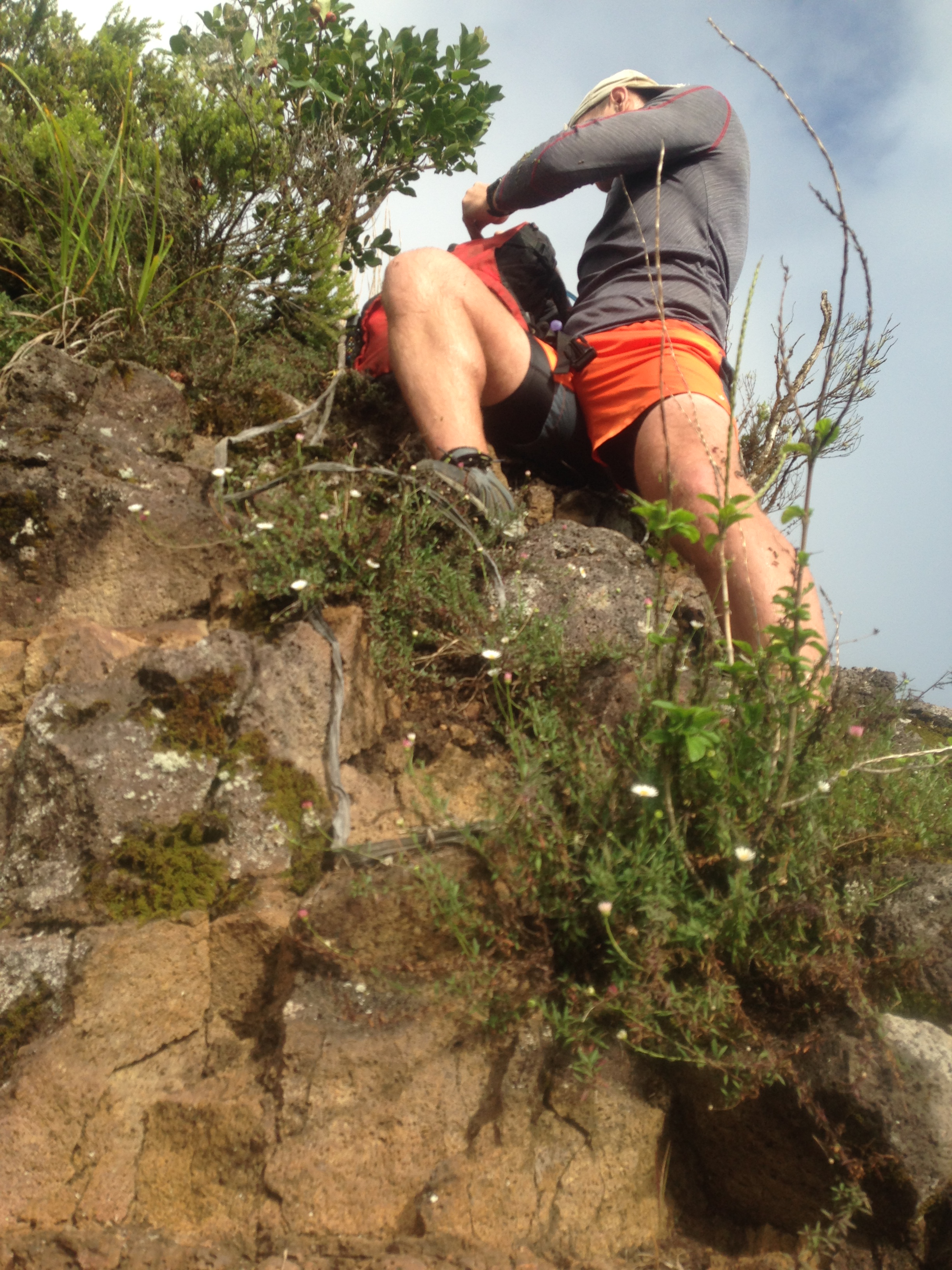
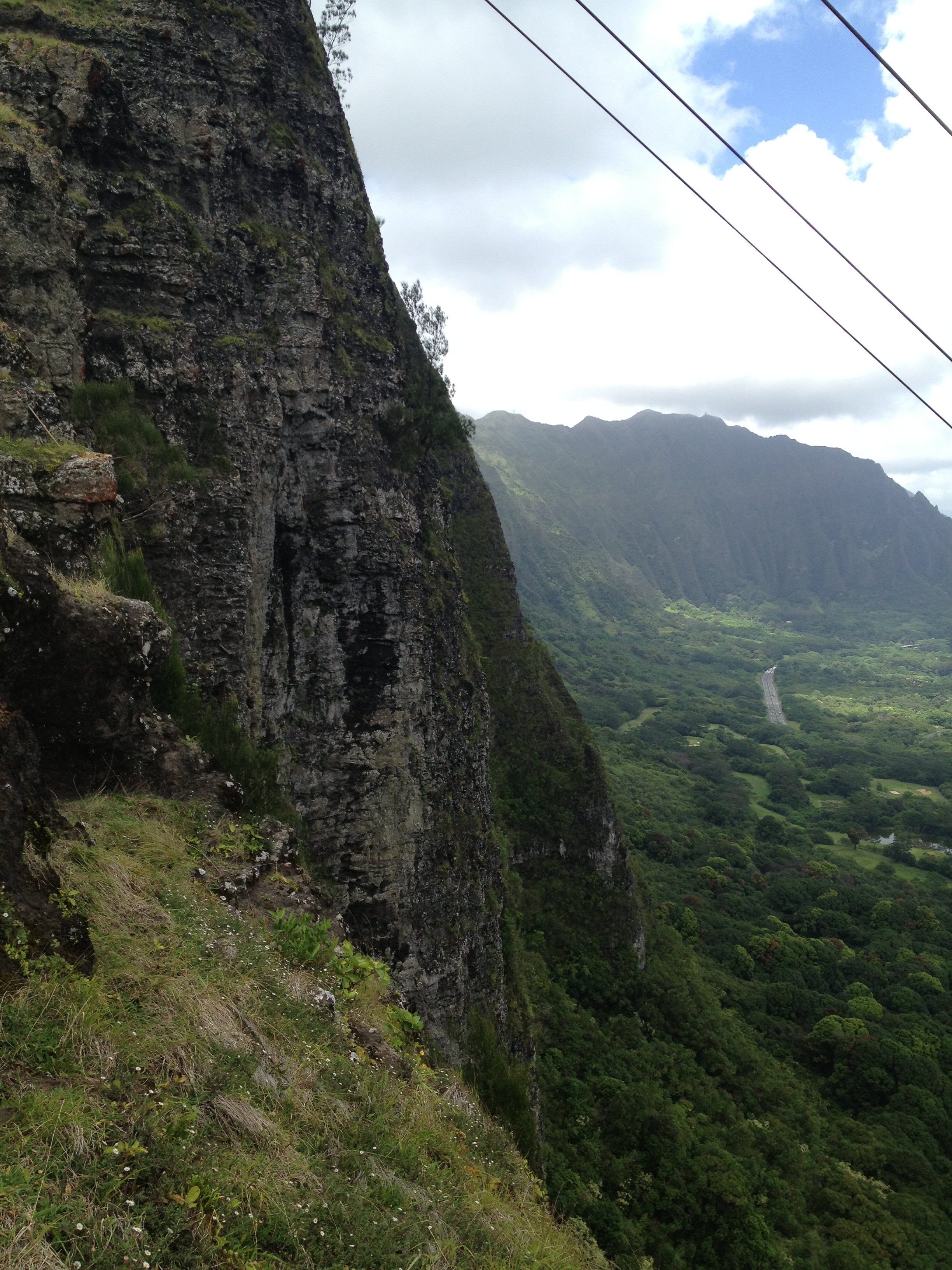
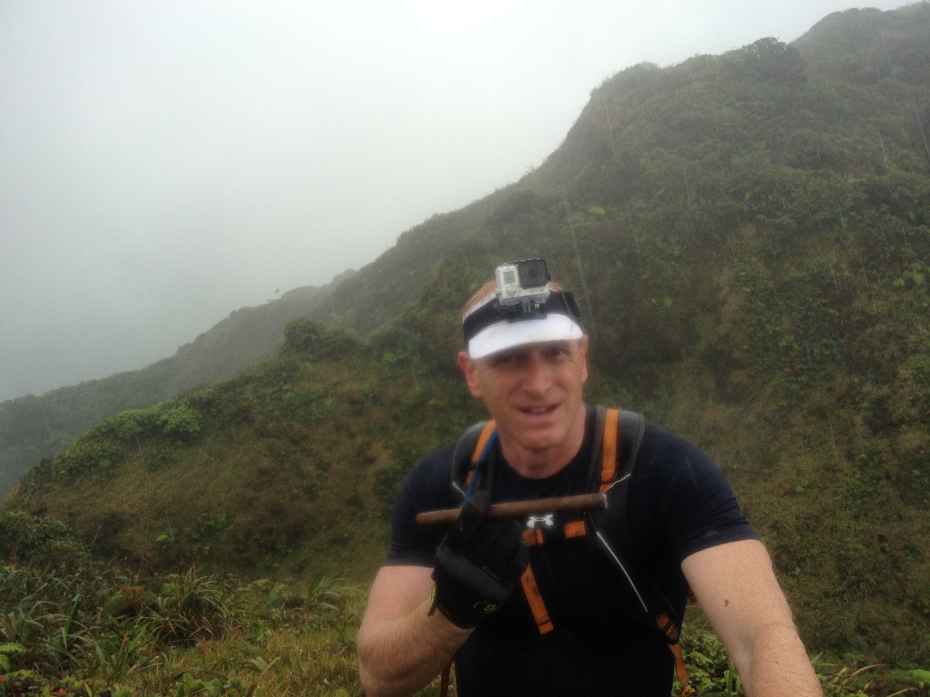
We parked at the hairpin turn on the Pali and jogged up Maunawili Trail to the trailhead for Piliwale.  It’s a four way intersection about 1/2 mile or more along the main trail.  You can’t miss it, as it’s marked and on a sharp corner.  From here it is a very easy and safe climb to the notch.  While the notch may look a little scary it is  simple and very solid.  Just go slow and have good points of contact for each step.  I wore spikes based on a write up about the terrain higher up.  Picture to follow will show the downside of spikes.  Ouch!

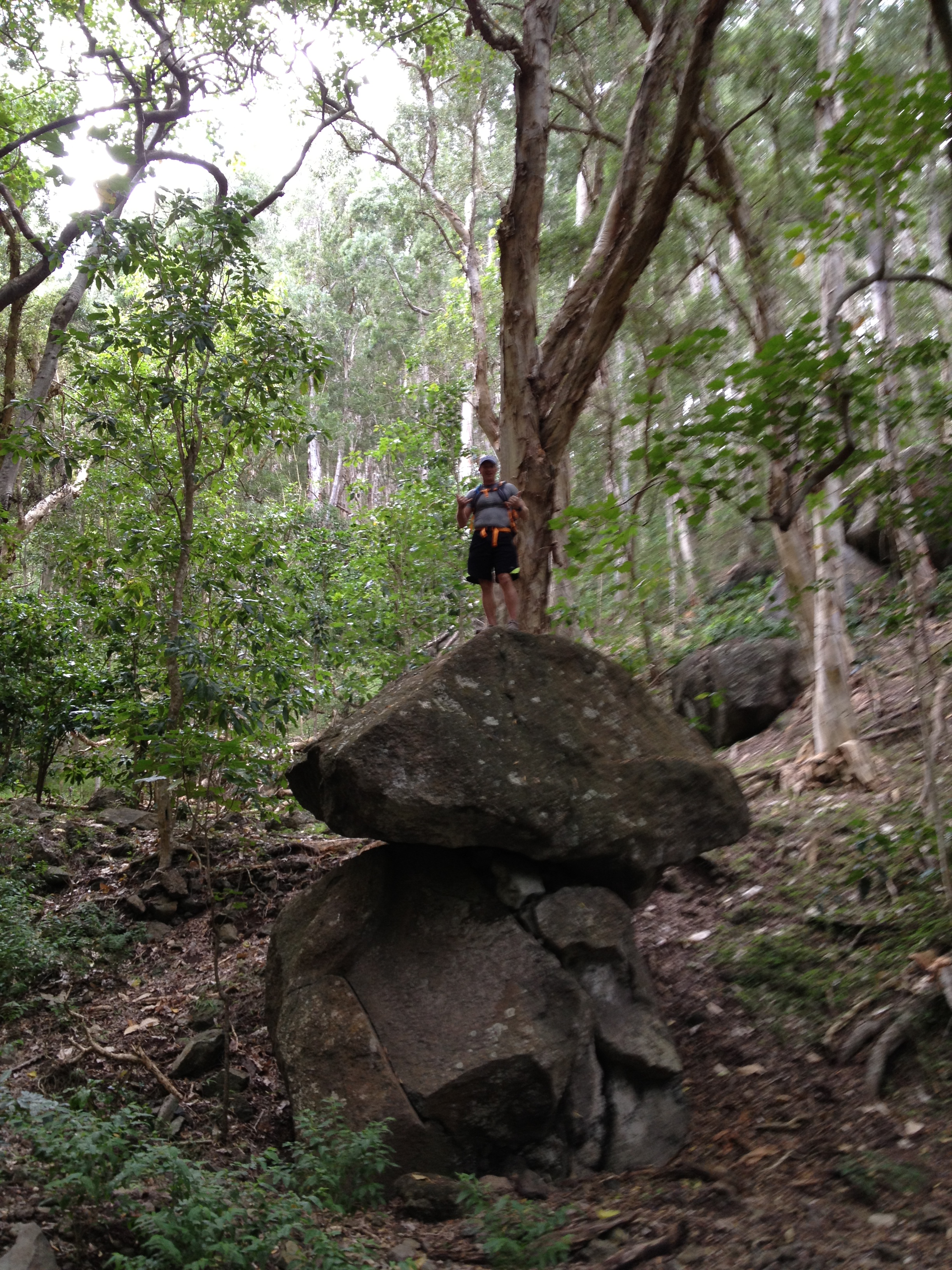
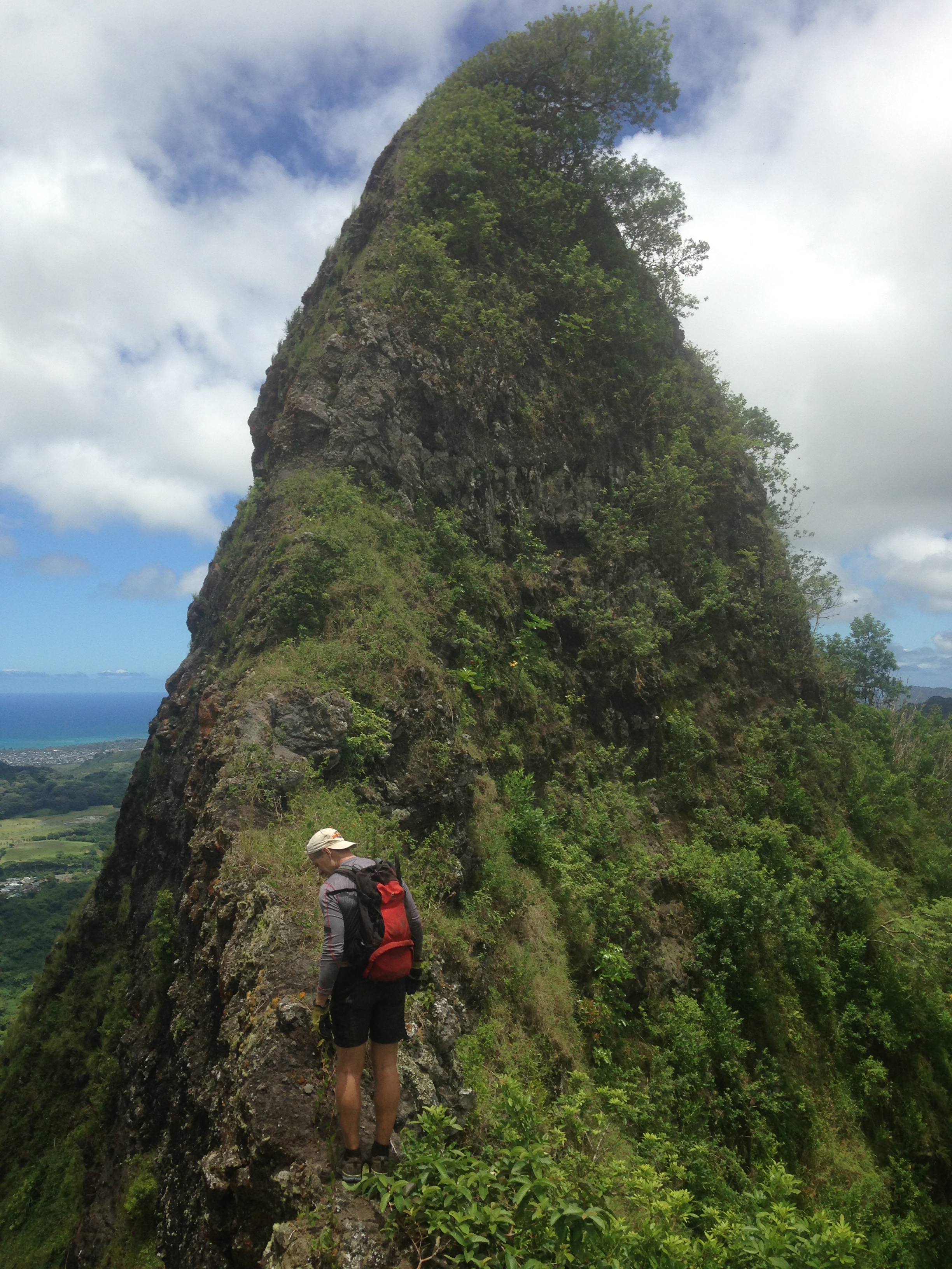
Anyway after the Notch you start to climb a vertical or near vertical ridge that does get pretty thin in places.  good news is it is roped well and has very solid footing.  We did add some new ropes in places with rotted ones.  Always be careful when you test ropes.  I have had ropes break on me before.

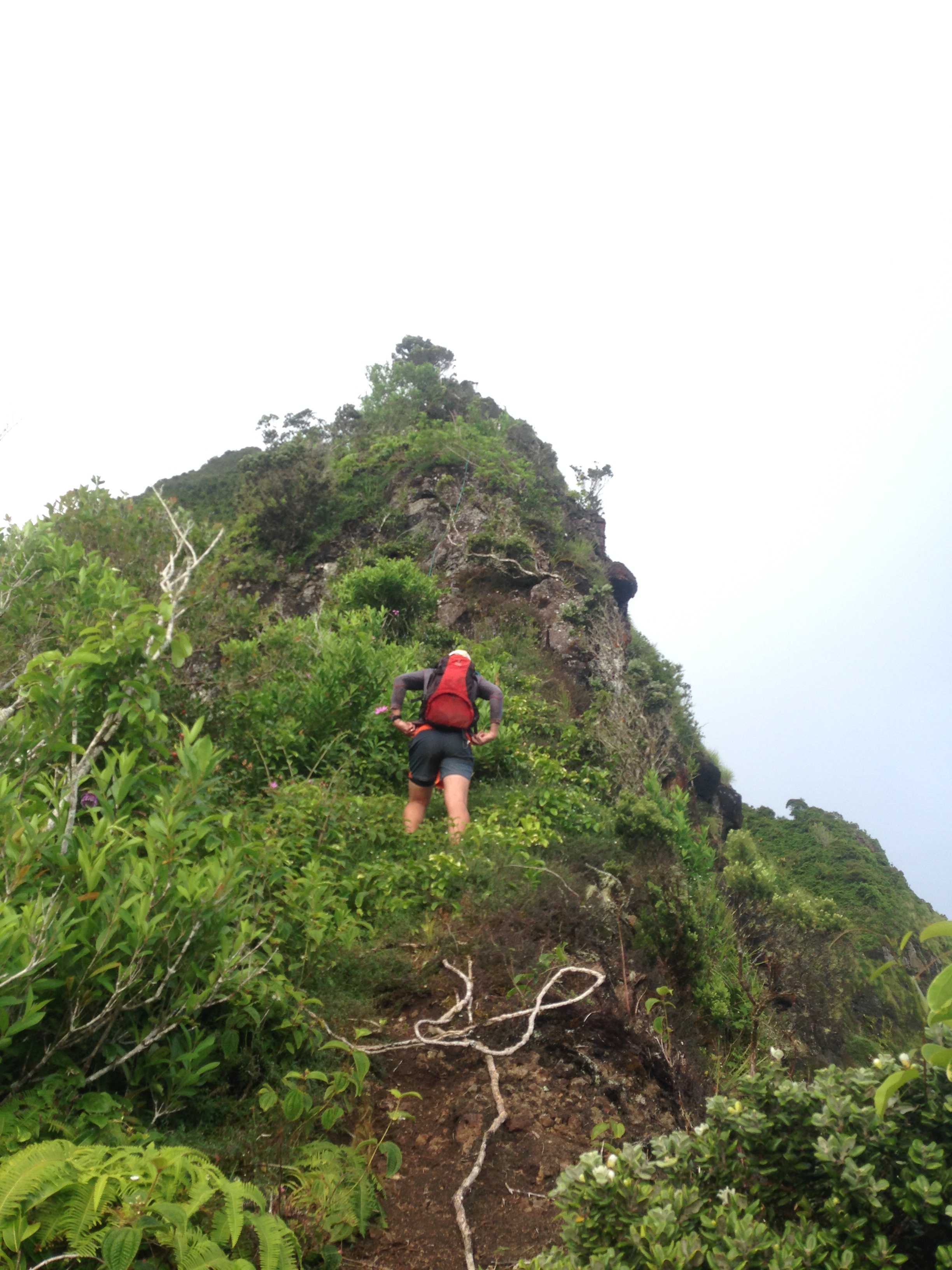
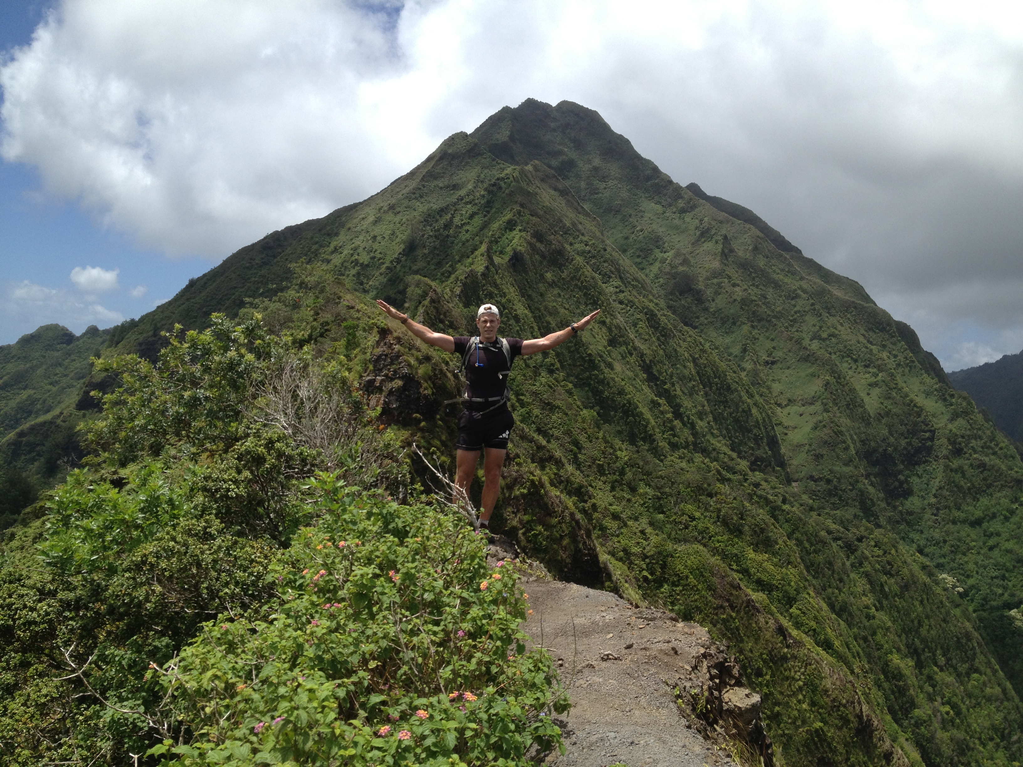
The spine of rock climbs well over 1400 feet per Marc’s altimeter.  Then you are lulled into a sense that you have beaten the ridge with ease.  Well, it does get much safer but now you get to fight the mud.  While not dangerous it is slow as you slip a lot.  The spikes made it easy going for me.  I don’t like spikes much as they cause some soil damage and could cause erosion, but on this section just climbing and slipping will do the same and maybe even more damage.  Watch for the native snails and be thoughtful as some are endemic and endangered.

IMG_0465
Marc adding a new rope on a spot on the face with a frayed rope.
IMG_0480
Looks easy but then drops are hundreds of feet off each side. If you fall on Piliwale you are not going to survive most places. While stable footing, remember one misplaced hand or footfall and you have a real problem.
IMG_0506
Looking back at the ridge next to us.
IMG_0507
Ouch! Not used to spikes. I could actually insert my finger to the knuckle.

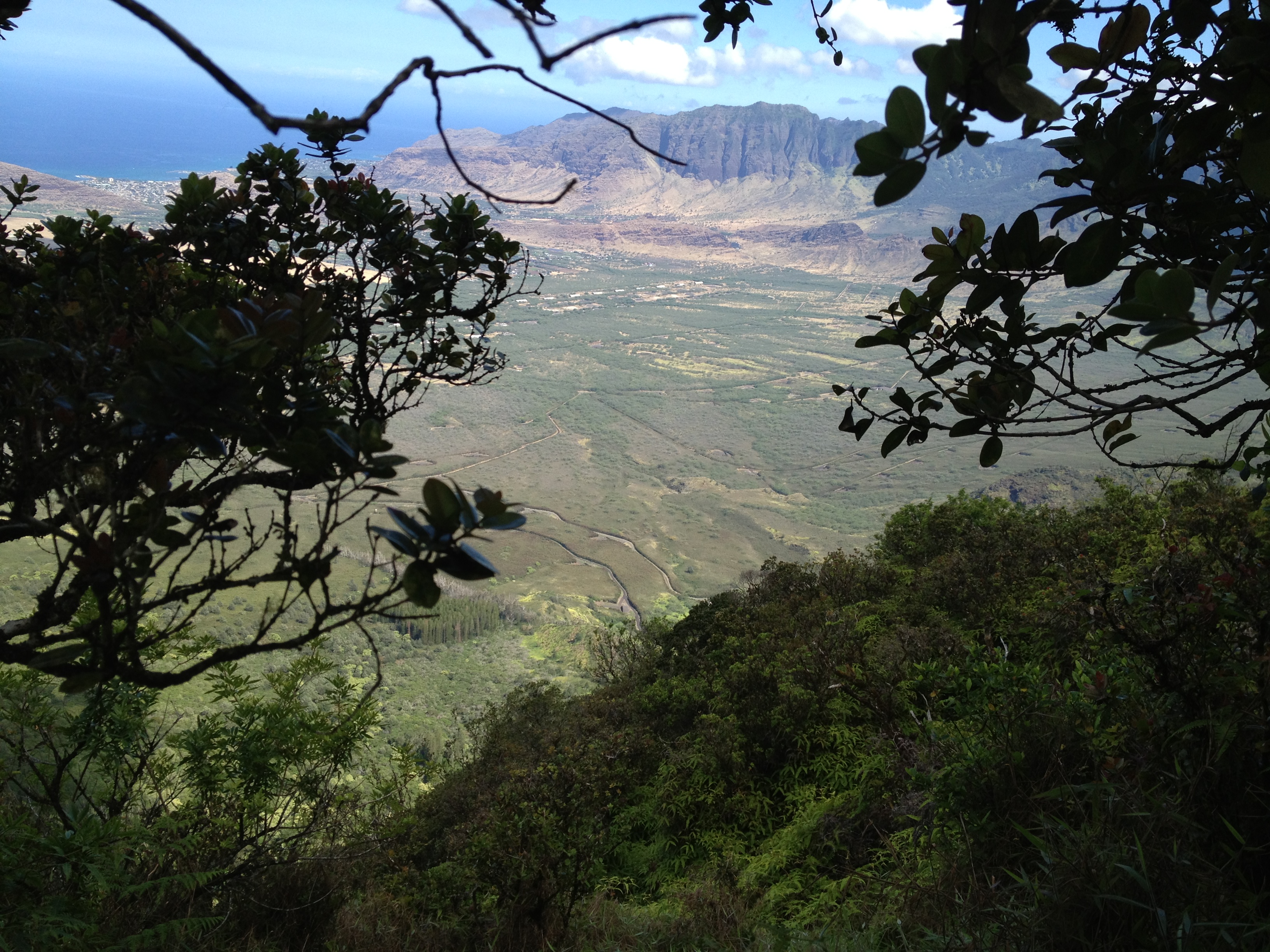
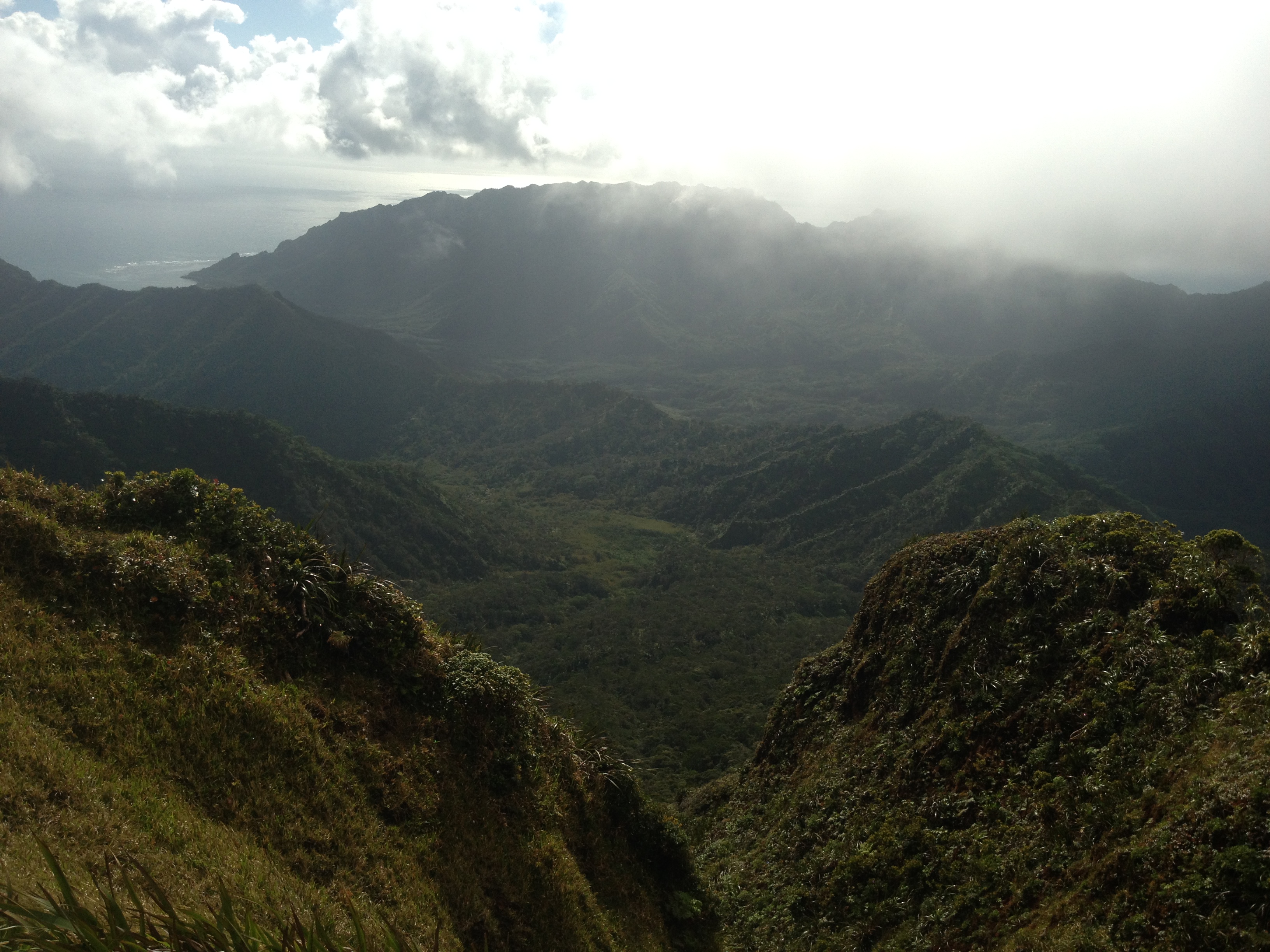
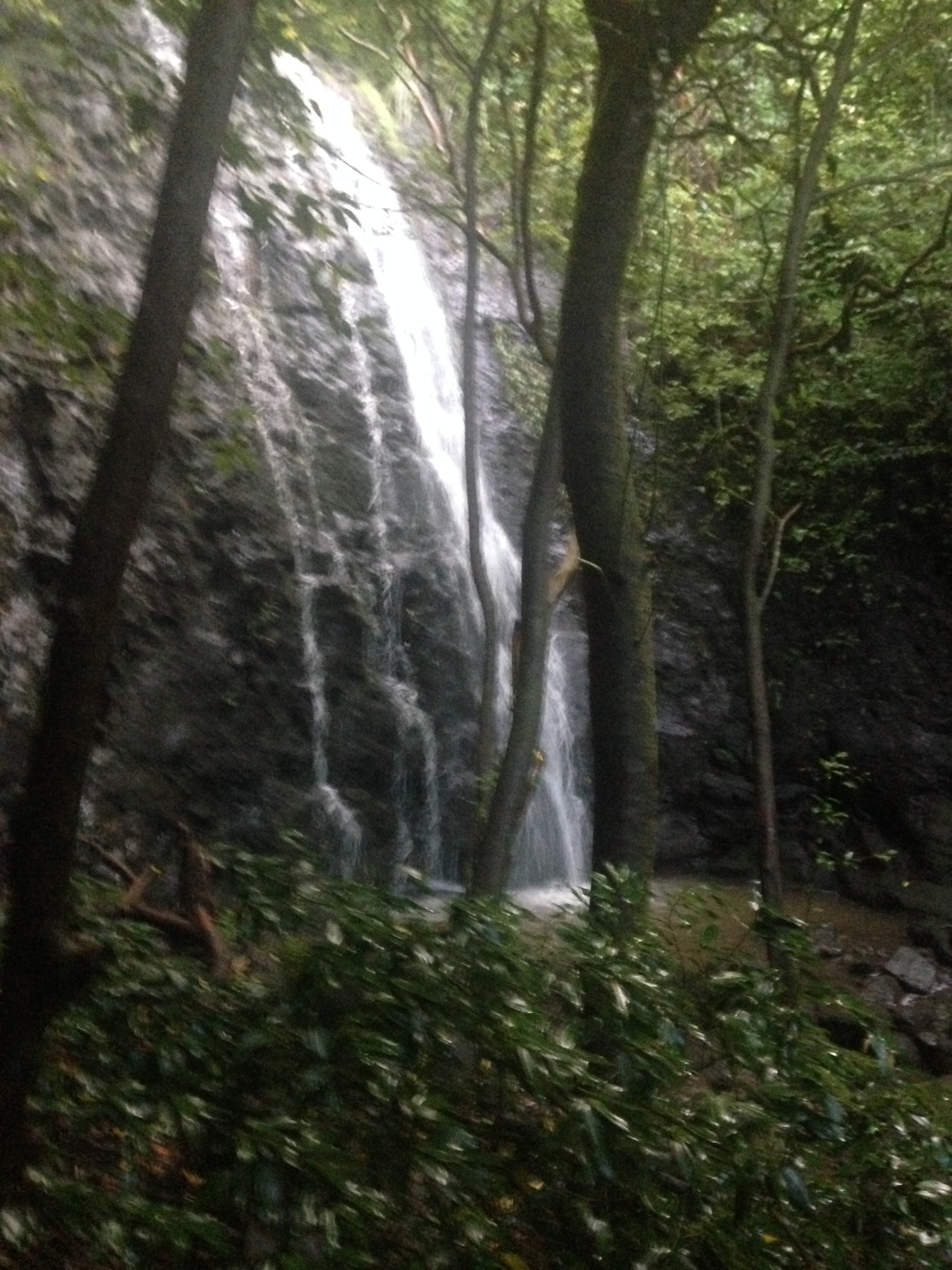
This was actually our last section of the Kololau Summit Trail.  I had to go from K-1 to K-2 to complete the KST from one end of the island to the other (Makapuu to Pupukea).  The climb to the summit took us just under 3 hours.  K-1 to K-2 was about 15 minutes each way and once back to the K-1 clearing we took the trail down to the Nuuanu Reservoir.  A word of caution…….don’t miss the steep right you have to take about 400 yards down this trail.  It looks like the main trail goes straight, but this takes you to a dead end at a small waterfall.  Make the right and stay on the ridge. It is steep at times but has ropes (we added a couple of sections) in all the steep places.  It’s not like Piliwale, you might not like falling here but most places would result in a minor injury..  The trail will descend all the way to the falls behind the reservoir.

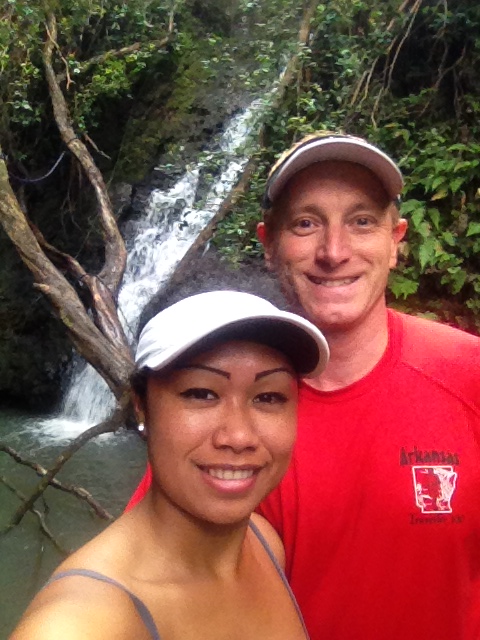
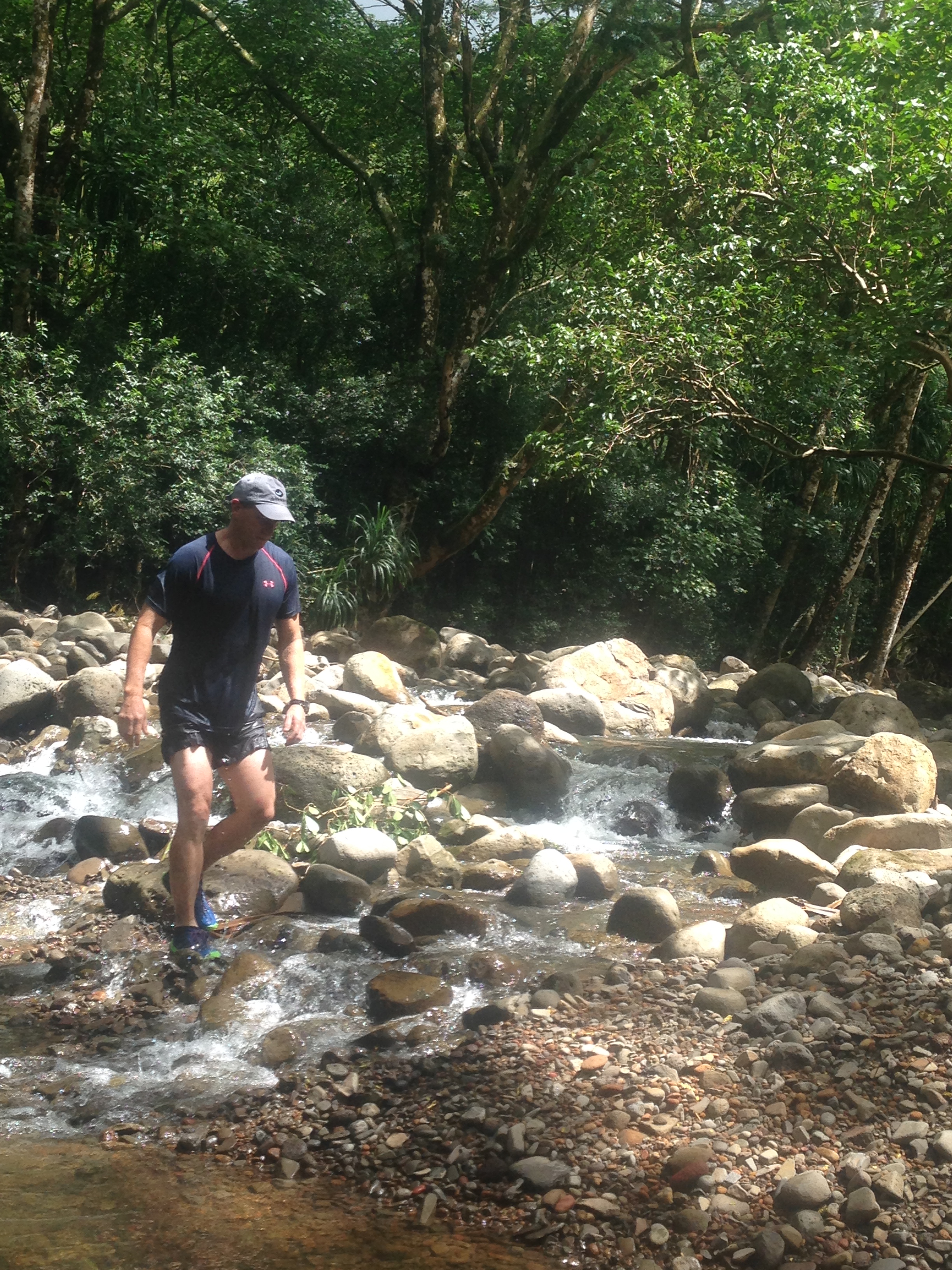
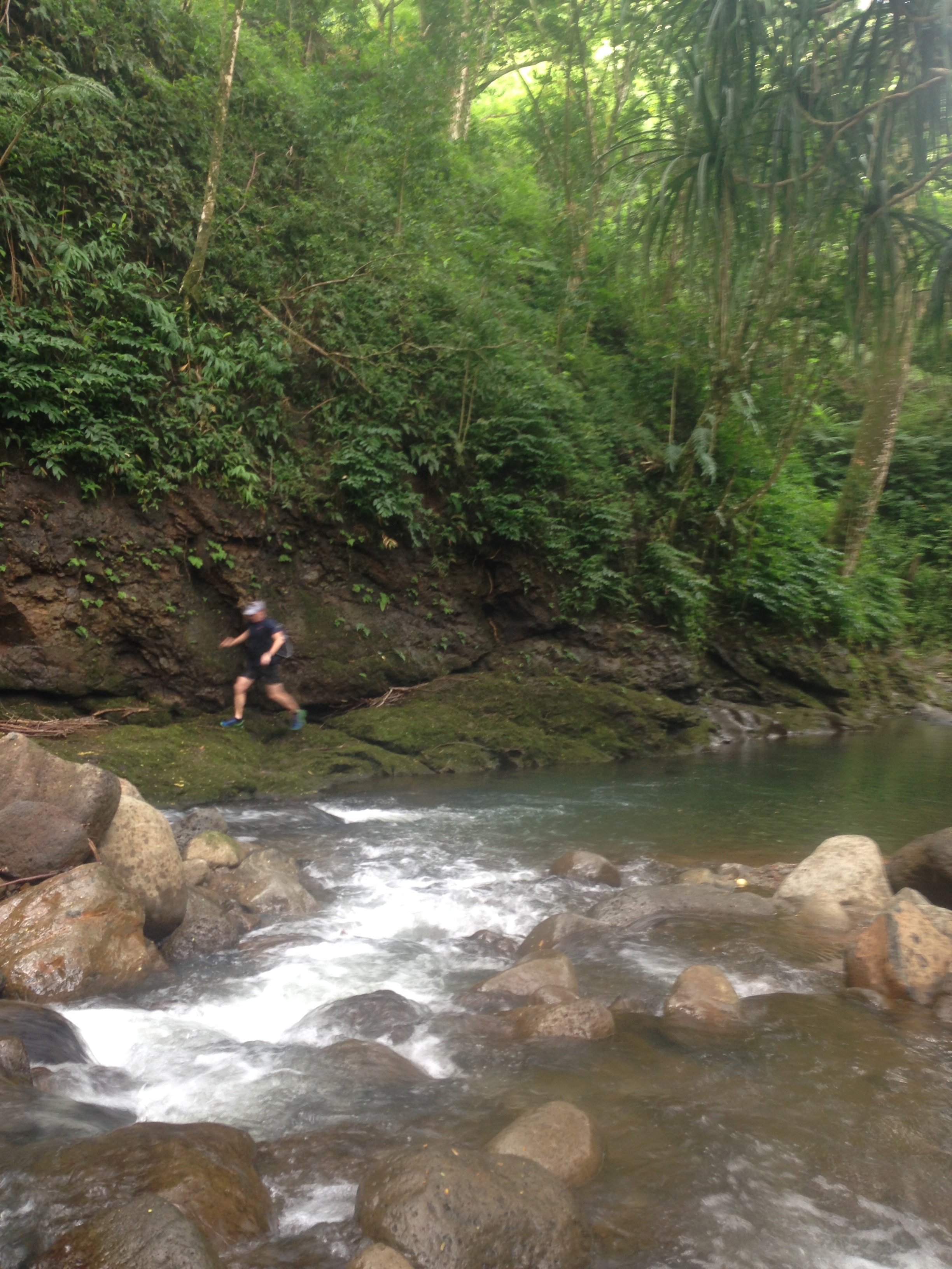
Take time and relax at the falls.  The hike took just over 5:30 and I would say it was very dangerous but I din’t feel it that difficult.  At no point did it make feel unsure about my ability to complete it.  Hike on!

Wahiawa Ditch Trails

This fun water hike has falls and swimming holes to enjoy.  I used to love the jumping spot above the creek but after a storm in late 2013 the a tree fell into the hole right where you would land.  Not to mention the hole was not that deep for a 40 foot drop.  So, anyway, you go to the water tank at the end of California Ave. and the trail starts at the water tank.  Hike in about 200 yards and you will see a very steep hill descending on your left.  Take this and enjoy a loop that is worth the effort.  You stay on the mail trail and it takes you to the small falls hidden in the taro patch.    This cute swimming hole is your first spot to really relax and jump a bit.  Don’t worry it gets even better once you’ve enjoyed this spot.  Head up the hill on the same trail and the trail will top out on a hill with a three way intersection.  Up takes you around the loop.  this section will take you around the creek and up down to the creek about 1.5 miles back.  It will have a couple of crossings and then ascend the next ridge where you will parallel the creek for about a mile before descending back to the swimming holes.


I’d take the lower right hand trail that looks more used.  It’s the short cut to the swimming hole.  It takes you on a nice jaunt of about 500 yards then comes to an intersection with a steep downhill trail.  take this and descend to my favorite swimming holes.  You have can take floats and enjoy the creek from a tube.  It will take you all the way back to Lake Wilson if you have time and are up for a fun float.  If not enjoy the swimming hole and spend an afternoon jumping form the cliff above the hole.  The hole is usually crystal clear and 8-10 feet deep but always check for debris that gets carried downstream.  On a rainy make sure you check before jumping as I’ve seen trees washed into the swimming hole.


IMG_2493
The small falls by the taro. It’s fun to swim and jump here.
IMG_2497
Juju at the creek. Bring your tubes!
IMG_2498
Victoria was having fun riding the rapids.

When you are done you can go back or cross the creek and ascend the trail to hit the loop.  I’m told along the trail at one point there is the old ditch trail that will take you through some tunnels but I’ve not found it yet.  If you do the loop plan on 4 hours or more for the entire loop trail.  Pack a lunch and make it a picnic day.  Hike on.


Pali Puka to Kamehemeha Schools.

Now this hike will get your blood pumping.  It’s one of the saddle hikes on the Koolau Summit that will test your metal.  The scary part on this one is the terrain.  Unlike the Likelike saddle or even the Notches, this side has unstable dirt instead of rocks to climb.  With each step I was sliding back as the dirt under my feet gave way.  Not usually an issue but with massive vertical drops it became an issue fast.

IMG_2958
The trail entry is this broken section of wall in the Pali Lookout parking lot
IMG_2960
Vertical
IMG_2963
Yes, as I said it’s vertical off the sides.
IMG_2970
Watch your step and use the vegetation.

To the Puka is not a bad hike but be very careful once you get above it.  It’s slow going on the loose footing.  I’d suggest spikes on this hike.  Also plenty water is a must as the ridge has no shade and the sun really heats the ground on the ridge.

IMG_2962
The Puka is an easy hike to this point. Going beyond gets tricky
IMG_2969
Wow.
IMG_2974
Looking back after making it up.

If I had to pick my least favorite summit hike, it’s this one.  The fun part of this hike is the run down to Kam Schools.  You can fly down the trail and the footing gets nice after about a mile.  I also suggest the trail down to the reservoir if you have time.  It’s a left about 900 yards down the trail once you leave the summit down to Kam Schools.  Take this one seriously folks.  Hike on.

Pali Notches to Nuuanu Reservoir

The three saddles on the Koolau Summit Trail are all a challenge and this one is no exception .  The Pali Notches and the Pali Puka both start at the Pali Lookout.  On this day we did the Notches.  The story has it that Kamehameha had the notches dug out for cannon positions to defend against warring chiefs.  I’m not sure if the legend is true but it makes for a great story.


Starting at the lookout you ascend the ridge situated on the right side of the lookout.  The trail is obvious as you climb.  You will not get lost on this one.  There are a couple of sections you will need to climb and pull your body weight up a rope.  Make sure you have the physical ability as failure on this hike could mean severe injury or death.  If just going to the Notches and turning back, you will be fine.  However, if you continue up the chimney and to the summit, be confident in abilities.  My hiking partner almost fell and had to climb hand over hand up a rope on a vertical wall .  At the chimney he swung around the back side when grabbing the rope.  The fall from this point would be 200 feet or more.


DCIM100GOPRO
Ropes are in place but be careful. Some are just looped around a rock.
DCIM100GOPRO
Marc on a scramble above the notches.


DCIM100GOPRO
Yes it’s almost vertical.

Once past the chimney the scramble gets much easier but don’t lose your focus.  Any slip up here is not going to end well.  The climb seems to never end as you haul yourself up.  The views from the summit are priceless and the run down to the Nuuanu Reservoir and falls is really fun.


DCIM100GOPRO
Check the ropes first.
DCIM100GOPRO
Sunrise was beautiful
DCIM100GOPRO
Marc Alet on the Notches
DCIM100GOPRO
View of Piliwale. Our next hike will go up this ridge.

All said this is a very dangerous hike.  I’d suggest turning back at the notches to be safe.


IMG_3358
Falls above Nuuanu Reservoir. The trail down the ridge is fun. It’s so step you slide from tree to tree all the way down.


Makakilo to the Waianae Range

The Palehua hike (Palikea) is a great and very scenic hike but does require permission.  The views into Nanakuli and Lualualei are spectacular.  Keep in mind once you reach the big dip that you see when driving along Kunia road should signal a turn around unless you have death wish.  The cliff there is vertical and the rocks are not secure.  We backtracked and went down a ridge to hit Kunia road just at the golf course.

IMG_2545
Diamond Head from the ridge
IMG_2548
Small cave along the trail
IMG_2567
The trail is tame until you hit the big drop.
IMG_2570
Great views into the valley

Once at the drop turn back.  We went down the first ridge to the farms and the dirt road to Kunia.

IMG_2577
You can’t miss the drop off. It’s 200 feet plus.
IMG_2581
We ran into some guys and hiked with them. At the drop they considered climbing down but a boulder almost hit one kid. If it did he would have fallen an easy 200 feet. Be careful here.

The ridge down was not marked but if you stay on top you will hit the farm roads.  It’s private property but no one said anything.

IMG_2587
Love this huge boulder on the road.
IMG_2592
A short hike out to Kunia Road.

It was a nice day.  Be safe and know your limits.  Take plenty of water as it gets hot on the road.

Hike on!

Jackass Ginger and Judd Hill Trails

The trail system here is extensive if you know where to go.  Most hikers just do the Jackass Ginger loop but the trail back to the old summer palace ruins is very nice with a couple of nice falls (Lulumahu Falls) and swimming holes.  We took the dog and had a nice scenic hike this time.  All done it’s 3 miles or less and a very tame hike.  The trail to Lulumahu Falls starts just after you cross the stream to enter the Judd Hill / Jackass ginger hike.  Once you cross the stream take the left in the bamboo and stay along the creek trail.  It goes up and down but you will hear the falls and see the trail down when you get there.

IMG_5201
Small falls and man made pool on the trail with Bella and Chip

IMG_5206

IMG_5235
Bella in the bamboo half way to Lulumahu Falls

Once you pass the small falls on the creek you are 2/3 to the nice falls.  You will climb away from the creek but the trail goes back down in a short distance.

IMG_5217
The big falls are fun with a nice deep hole to swim. Keep in mind the lawn across the pools is private property.
IMG_5219
Be safe as the falls are strong and falling into the rocks is not fun.
IMG_5226
Beautiful Bella and Chip.


We did a return hike to Judd Hill and the Jackass Ginger loop. It’s a fun run that you can fly along.


IMG_5236
I love the pine forest section.

IMG_5239

As you get back around and descend you will see two trails off the left side that go the creek.  Take the second trail to the falls and swimming hole.


IMG_5245
Bella at Jackass Ginger. I love to jump from the rocks but test the depth before you jump.

Now take the trail back up and finish at the small falls along the spillway off the old Nuuanu Pali.

IMG_5248
This is not as clean as the other holes so keep lepto in mind if you have any open cuts.

This is a great short hike that takes no more than 2-3 hours even with time to swim.  Hike on.

Poamoho to Laiea Falls

Make sure you submit your request to the state and get the gate codes.  If not you have 6 miles of road to run just to get to the trailhead.  The trail is an easy and smooth climb to the summit.  It’s only 3 miles to the Koolau summit and some amazing views of Kualoa Ranch and Chinman’s Hat.  From the top you can go left all the way to Pupukea with several trails down along the way.  We did the trail to Laiea Falls and think that’s a good days haul.   

IMG_4454 - Copy (2)
Trailhead at the end of the jeep road.
IMG_4460
Summit at Poamoho. There is a nice rock sign up here with directions and distance to the next legs you might want to choose. We ran almost all the way in and were at the top in 1 hour.

Sorry about the quality of the photos but it was pouring on us most of the day.  The pig fence along the trail made it very easy to find your way.  The only place it got confusing was about 9 miles in when you have hit a meadow and have to turn right down to Laiea.  Seemed like you should go straight but the trail peters out.

IMG_4463 - Copy
Cigar on the summit is a tradition. Running the trail while smoking a cigar may not be bright.
IMG_4459 - Copy (2)
And the rain began to fall

While skirting the pig fences along the top, we ran into a huge sow pig.  She was so funny as she ran just 50-60 yards in front of us for almost a mile before she went off the side into a wash.  Going this way you can take a trail to Sacred Falls and other short cuts.  If you are going to go to Laiea then start early or run a lot of the trail.  Running almost half the way, it still took us 7 hours to get all the way to Laiea.  The falls are a welcome way to clean off as this hike is ankle deep mud (at least) along the entire summit. 

IMG_4458 - Copy (2)
As usual when the clouds set in you will lose your ability to see where you are. Be comfortable with your sense of direction up there or only go on clear days.

Be careful along the fence.  There is a lot of wire and it’s rusty.  Get your shots updated.  I actually had a 4 inch piece of steel pierce my shoe and shoot right between my toes.  It was sad to see the waste the state allows.  At the top where they were building the pig fence is a pile of materials not used in the fence.  It’s huge piles of fence sections, wire and poles just rusting away.  I’d have to estimate the value in excess of $100,000 of materials.  What a pity.

Long and short this is a nice hike but gets dull after a while.  Worth the one time effort.

Malaekahana Falls from Laiea

DCIM100GOPRO
Lana on the steep dirt road up. It’s a long steep climb
DCIM100GOPRO
The trail is easy to follow yet it seems go on / and up / forever.

This hike was very nice.  We started very late in the day and hiked to the falls just as the sun set.  We sat at the falls had a sunset picnic and some wine then ran down in the dark.  With a full moon we were able to run down almost the entire way with no lights; It was very comfortable and calming.  Down is so much easier than the climb up.


When you do start the hike remember to stay on the main road as you walk in.  There are several roads off the main road that seem like they could be the way to go.  Don’t take those and don’t turn left up the hill at the yellow gate.  You notice the trail and it looks promising but that’s the way to Laiea Falls.  Stay on the main road as it bears left past several farms.  You will find the trail marker that reads Malaekahana Falls when you start up the hill.  Another day you should also visit the Laiea Falls.  It’s an easier hike and very nice falls too.


DCIM100GOPRO
The old fence posts line the dirt road up. What did it keep in?
DCIM100GOPRO
The guava forest was like a tunnel or cave at times. Nice to have the shade.
IMG_4261
Climb this tree and the small falls to get to the main falls above.
IMG_4267
Ropes are in place to climb the falls
IMG_4279
Great day for a sunset picnic at the falls

Take at least 2 liters of water if it’s sunny out.  The steep climb and lack of shade on the dirt road will make you sweat.  Love this hike but plan on 5-6 hours if you are moving steady.  You will want to spend 1-2 hours at the falls so plan on a morning start.  I did like the run down in the dark but I’d have a light just in case you caught out past sunset. 


IMG_4288
Good food, great wine and even better company.
IMG_4295
The falls get bigger as you go up stream. Bella with a glass of wine.

Likelike Saddle on the Koolau Summit Trail

With this hike I have completed the summit from Makapuu to Pupukea.  I’d have to give the stern warning that this section is off limits and closed for a good reason.  It’s the most dangerous section of trail I have done to date.  I would not hike it again and was very happy we took safety gear as we needed it in numerous sections.  We found rope and webbing in most of the tricky sections, but had to use the gear and leave some nice rope in a couple of the sections.  Please take this serious and skip this one.

IMG_4810 IMG_4818 IMG_4827 IMG_4837 IMG_4844

There are sections on this hike that you have to scoot on your butt with 300-500 feet drops on both sides and 1-2 foot wide trail.  I lost my go-pro when I fell and caught myself on a sheer drop of more than 400 feet.  It’s one of those that keeps you on edge.  No pun intended but you are always on an edge.  The views are great, but again, skip this one.  It’s a 50/50 risk of serious injury.  One false step and you would be serious injured if not killed.

IMG_4844 IMG_5068 IMG_5080 IMG_5082 IMG_5096 IMG_5099

Rather than going the Pali Puka or the Kamehameha School route, we went down a trail to the Nuuanu Reservoir.  That’s a great spot on the hike with numerous falls.  You pop out just across from the parking lot at the Pali and the Old Pali roads.  Stick to that section and stay safe.

Hike on!!

Kahana Valley Trail Loop

What a great water hike!  With multiple stream crossings this is one of my favorite hikes on Oahu!  There are rope swings and great water holes to jump from.  I’d rate this a perfect 10 on the 1-10 scale. 

IMG_0097
Old WWII Bunkers. Kahana valley was used as training grounds for the military during WWII.

IMG_0123


The trail takes you on a figure 8 that seems longer than it is but I would not miss the back section along the stream.  Just keep going along the trail and you will end up at the stream. The trail may seem to be taking you away from the stream but it eventually does go down.  Take a lot of mosquito spray as we had hundreds of the bugs around and on us for 1/3 of the hike. Finding your way back to the trail after arriving on the stream bank is a little difficult.  Just follow the stream and you’ll eventually see the pink ribbons along the way.

IMG_0133
Nice jumping spot!
IMG_0144
Crossing the river. During heavy rainfall, crossing the stream may not be very easy. Find a safe spot.

Don’t miss this hike.  It will become a new favorite for you.