Mt. Magazine State Park and Trail System

IMG_3142
Bella and I had a picnic lunch on Cameron’s Bluff vista.

OK I had to share a little of one of my favorite trails back home.  Arkansas truly is the Natural state.  The high point in the state is Mt. Magazine.  It has been turned into a state park that rivals any state run facility you could imagine.  The Lodge at Mt. Magazine is spectacular with good dining and some incredible lodging.  We always chose to rent one of the many “cabins” available.  The lodge itself has well appointed rooms, a great dining facility and bar, massive fire places, amazing views of the Ozark and Ouchita Mountain ranges, work out facilities, gift shop and indoor pool.  The cabins take it up a notch and offer some incredible lodging with your own hot tub facing views that are breath taking.  The cabins are also stocked with full kitchens, laundry facilities and movie / internet services.  This experience is beyond anything I’ve come to except from any state run facility.

IMG_3107
Bella running the trail at the summit

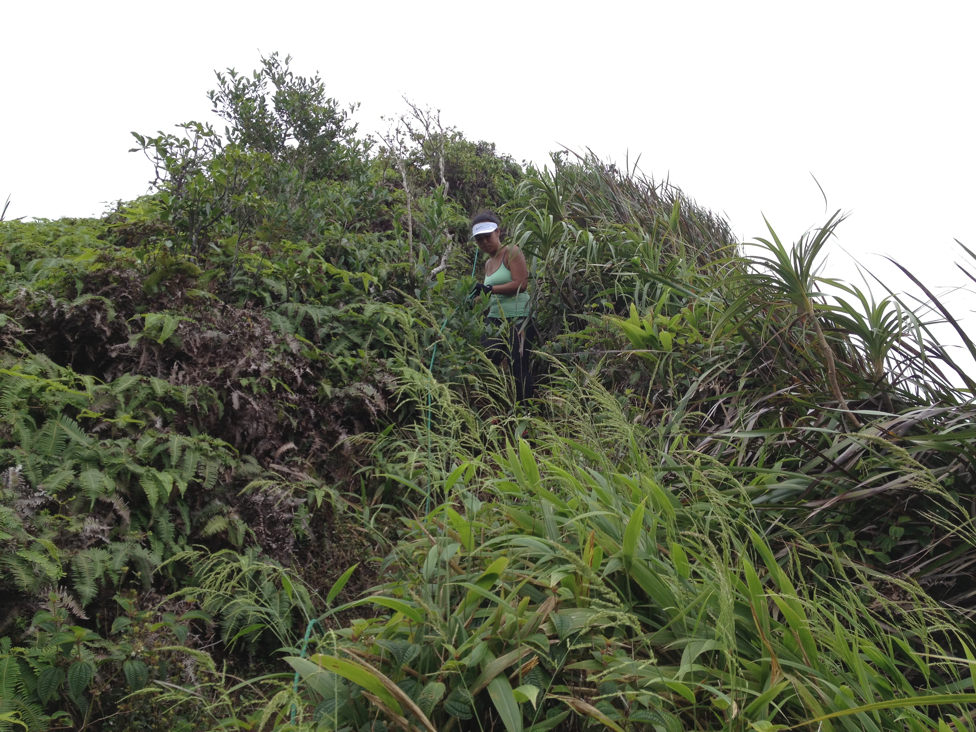
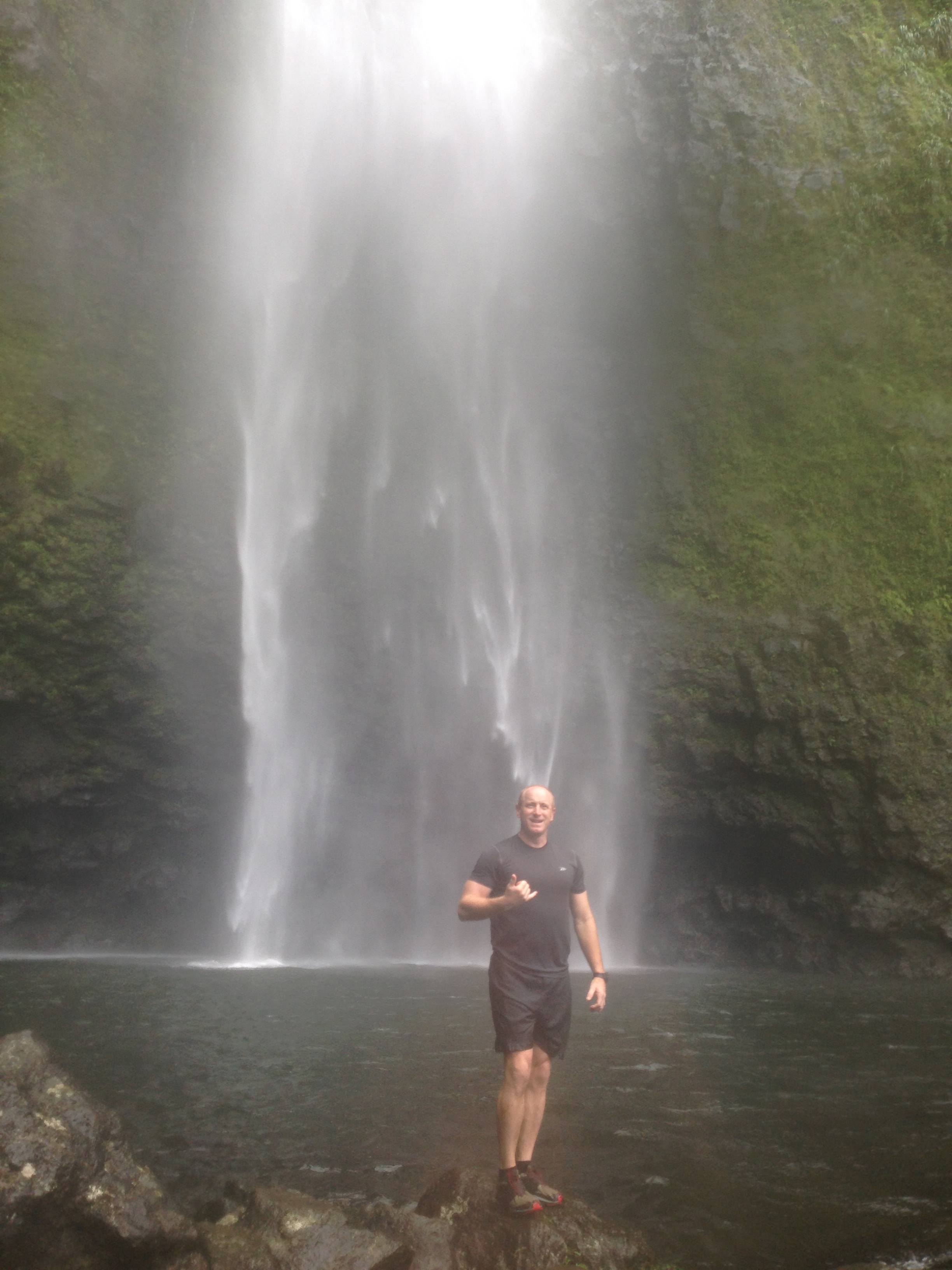
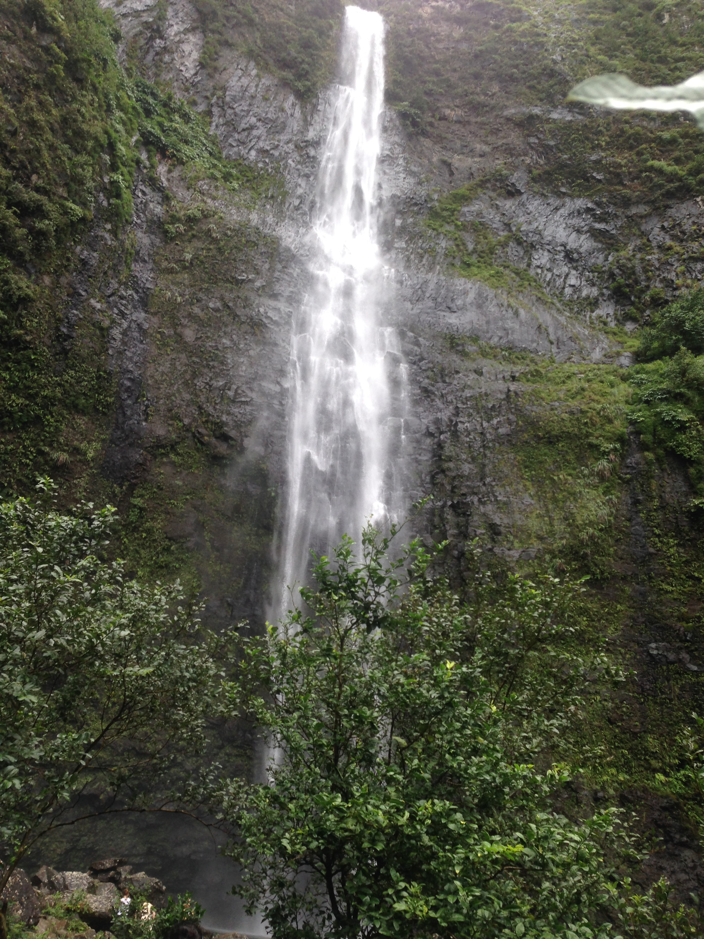
The trail system is well groomed and extensive.  You can run miles of trails with views sure to impress.  I’d suggest the long trail down to Cove Lake.  It’s a hike but worth the effort.  The hike around Cove Lake is another gem.  I’d suggest a Spring or Fall stay for the perfect climate.

IMG_3110
One of many picnic areas with fire pits.
IMG_3115
Great views.

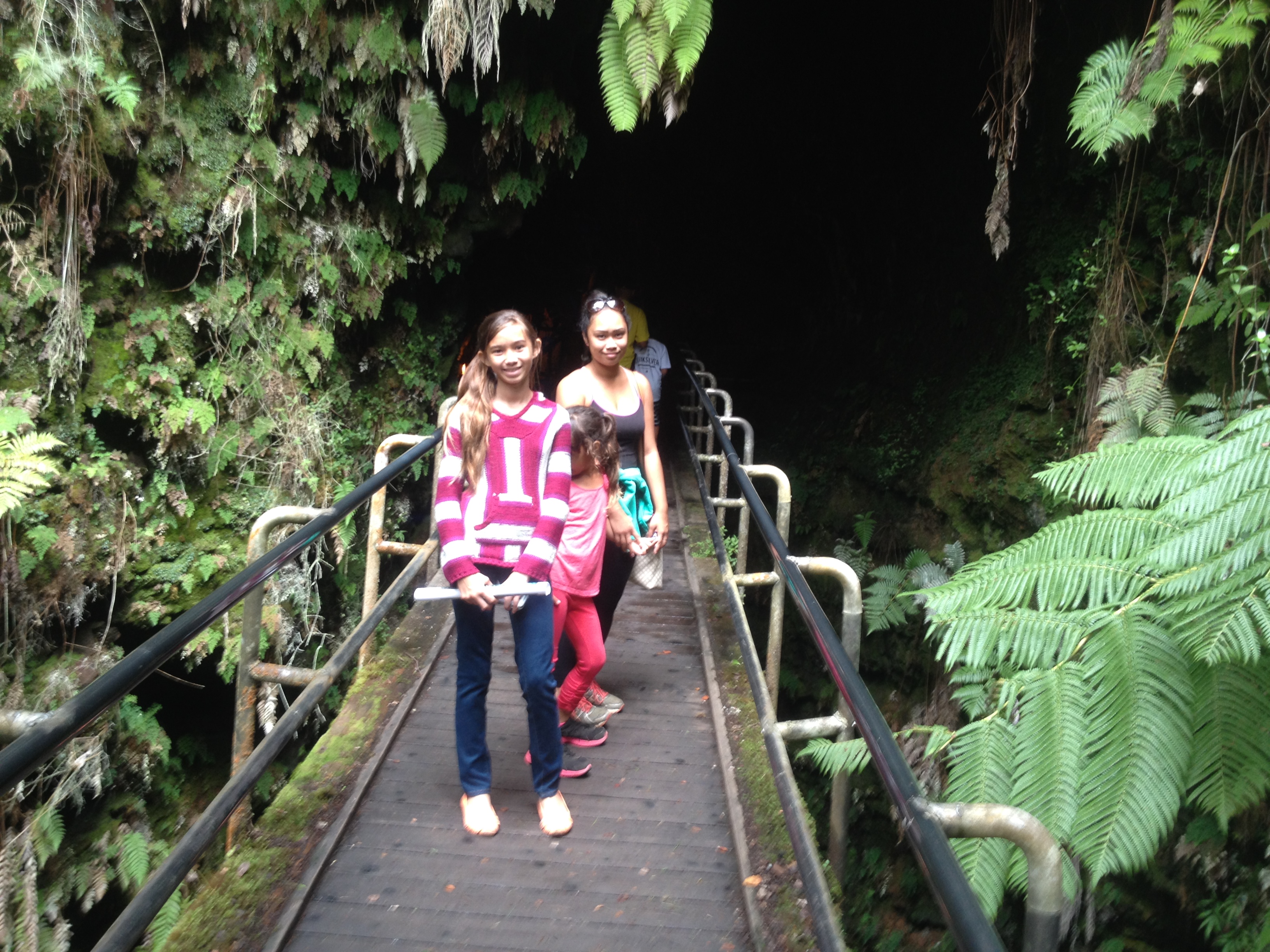
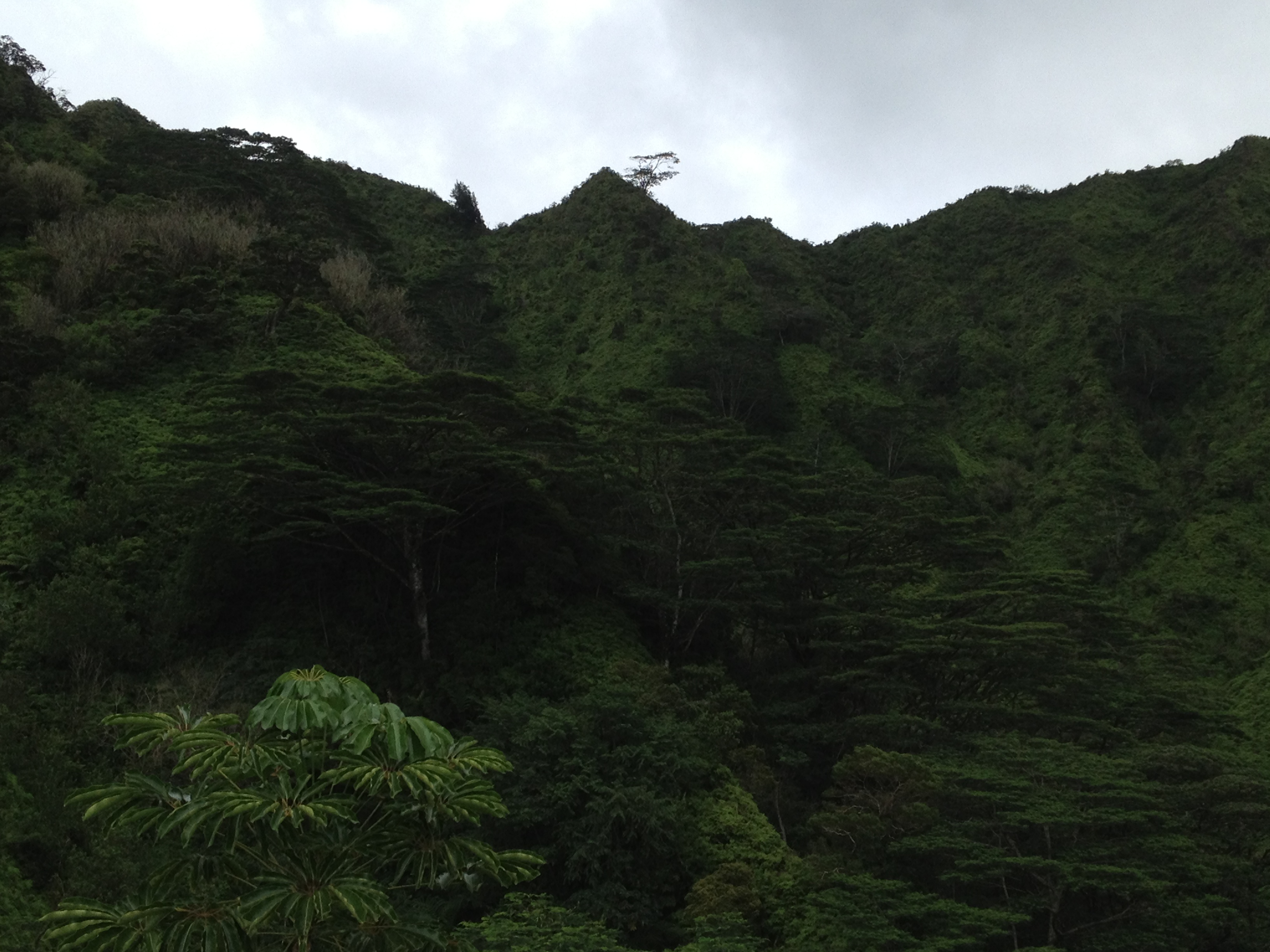
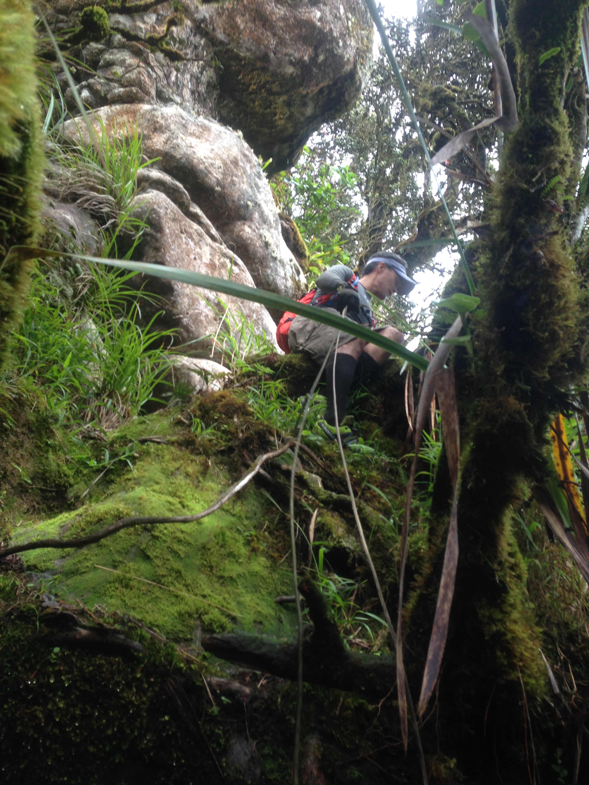
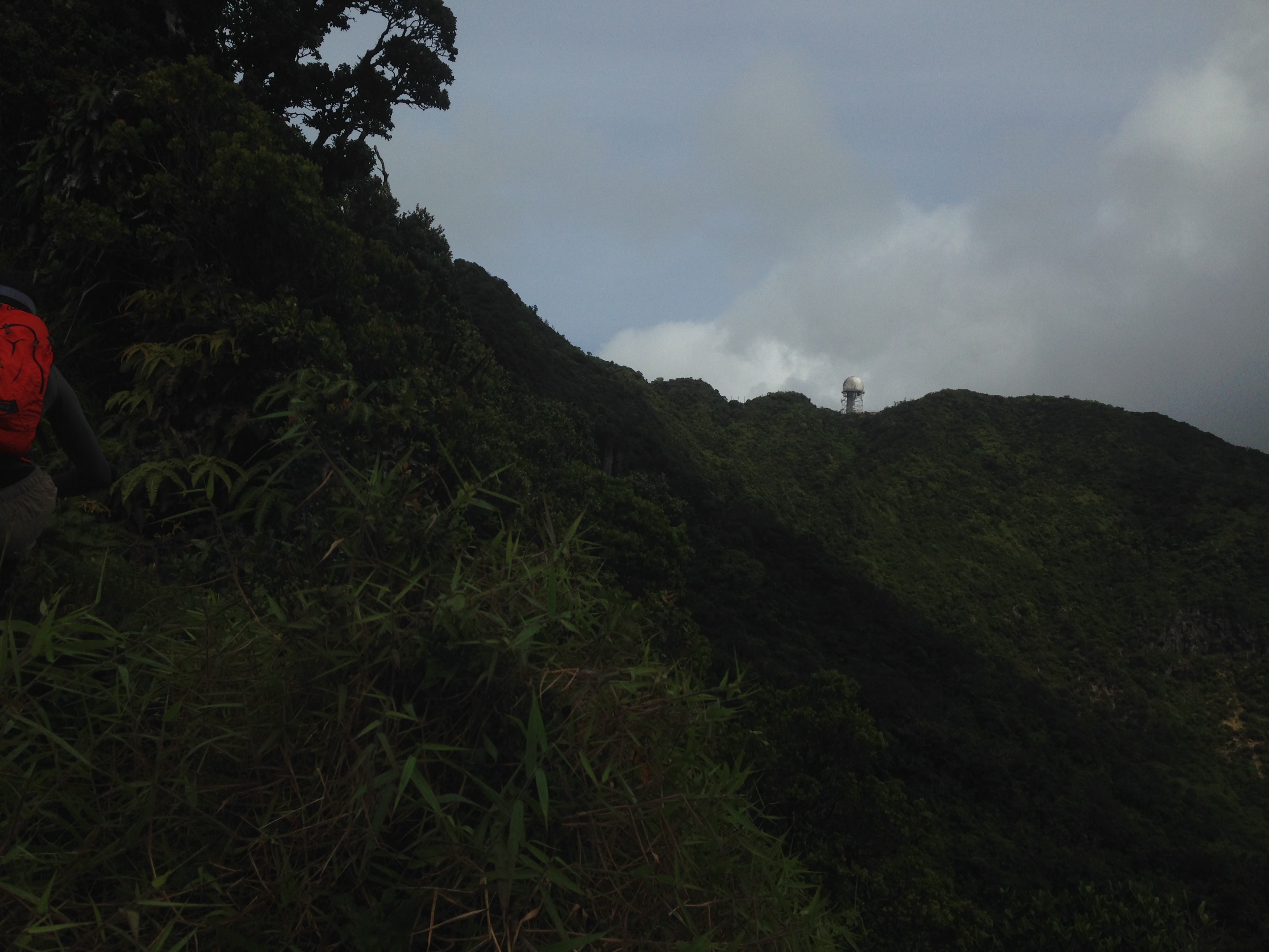
We did a simple hike on top of the mountain this time.   The trail system on the top of the mountain has many miles of scenic paths.  Flora and fauna are abundant.  Watch for deer, squirrel, turkey and if you are lucky even black bear.

IMG_3121
So nice.

If you had could imagine a place of pure tranquility to relax;  this is it.  Lace up your trail shoes and set out to be impressed.

IMG_3124
Pure bliss
IMG_3127
Bella and I at one of many scenic lookouts.
IMG_3132
Paris and Subiaco Arkansas in the background.
IMG_3134
Cameron’s Bluff.

Stop in Paris and load up with groceries so you don’t have to leave this bit of heaven.

IMG_3151
View of Blue Mountain Lake from our cabin deck.

Hike on!

Volcano National Park

IMG_3446
Kilauea Summit Trail

This has been a favorite of mine for years.  We used to run the old Volcano Marathon when it ran through the lava flows.  It was one tough marathon but my best run ever was clocked there with a 4:23 finish.  Sounds slow but that’s the same a 3:20-3:30 Honolulu since the effort is much harder.  We also set up two ultra’s of our own:  a 50k and 55 miler while training for the Lean Horse 100 Miler.  This time however it was a simple family hike for fun.  Bella, Victoria, Julia and I did a fun hike of the Kilauea Summit and Kilauea Crater with a jaunt through the Thurston Lava Tube.

IMG_3413
The Vents on the main road before the visitor center.

We set out from the Visitor Center to do a short day hike across the Kilauea Crater Trail.  Take lots of water as the crater floor is very hot.  It’s a nice hike along the fern forest.  The vistas along the summit into the crater are amazing.  Take your camera and capture the splendor of the views.  Once you pass the Parking by the Thurston Tube, stay along the cater rim side and you will see the crater trail descending into the valley below.  It’s a steep but well groomed trail.

IMG_3416
Vista at the parking lot.
IMG_3422
Along the crater trail with Boo.
IMG_3428
Into the crater. Imagine the hot lava filling the bowl!
IMG_3432
The crater
IMG_3433
The crater trail is an easy hike with several steam vents still showing.

Once you cross the crater you can climb back out from that side.  It’s a nice but steep climb.  We chose to turn around and head back to the Thurston Lave Tube.  I’d make sure you hit it.  It’s a marvel to see the how the hot lava flowed and made a long tunnel through the rock.

IMG_3439
Entrance to the tube.
IMG_3442
In the tube.
IMG_3445
Bella and I in the tube.

The tube trail is a circle that takes you on short loop around the tube and bath house.  We hit the facilities and headed back to the parking lot and Kilauea Summit.  It’s a nice easy day hike worth the time.  While here make sure you enjoy the visitor center and stop in Volcano Village for lunch.  I like all the spots and have always been pleased  with the food and the friendly service.  While in Hilo visit Akaka Falls

Hike on!

Manoa Middle Trail and the real Manoa Falls

IMG_2916
Small pool at the water works. The stairs take you up to Manoa Middle. At the top of the stairs go left and take the steep trail to the clockwise trail loop of Manoa Middle. Going down the ropes at the falls later is much easier than going up.

Park on the road in the neighborhood.  Google the 7 bridges for the location.  Just take the last right into the homes before you get to the sharp curves before Paradise park.  Here you will see the gate that the board of water has in place.  Cross and stay on the road.  Take the left as you get to an intersection going uphill.  Don’t go up that road.  Stay left and on the main road.  It will turn into a cobble stone road and cross a huge tree over the road.  Here you start the single track.  It’s wet and muddy but defined.  You will come to the first stairs, climb and continue to the first pool and stone stairs for the trail.  Remember to go left and do the clockwise version.  It’s steep but ropes and trees make it very easy.  The climb goes on for about a mile before you summit.  At the Koolau summit turn right.

IMG_2865
Looking at the summit half way up.
IMG_2888
Summit with Bella

The summit piece is about a 30-40 hike with climbs and descents.  Ropes are in place.  One section about half way in has you going around a tree and across an open vertical face.  Go slow and use the ropes.  It’s a little scary but not that bad.  You will climb a very steep hill later.  Look for a trail going down on your right after the hill.  This is a fun trail in soft ferns that drops very fast.  I love to run down but be careful as you can’t stop.  At the bottom you will start to hit the ropes to the creek.  Find and follow the trail along the creek.  It leads to a big rope down a 70 foot face on a waterfall.

IMG_2889
On the Koolau Summit portion.
IMG_2905
Falls galore on this section.
IMG_2895
The big falls and rope. Be careful and get good foot falls. Falling here would be dreadful.
IMG_2903
Fun but not for someone without upper body strength.

The trail pops back out at the creek where you went clockwise.  Now back down the stairs and back to the car.

IMG_2916

HIKE on!

Makapuu TomTom to Lanipo Mauna Lani Heights

IMG_3701
Musubi makes good fuel
IMG_3665
Looking at Makapuu at daylight

This section of the Koolau Summit is a nice but a long hike.  Stage a car as the run down to Kalanianaole Hwy and back to Makapuu gets hot. It also adds many miles of road running.  We had  to run because we made much better time than we thought and actually made the summit trip in 7 hours.  This left us no choice but running back.  Stage a car!

IMG_3679 - Copy
Looking down from the Tom Tom Trail
IMG_3686
Magnum PI house from Tom Tom

Start at the Makapuu lookout parking lot, not the Makapuu Trail lot.    The trail skirts the fence going up to the summit.  It’s directly  across from the parking lot.  It’s a little hard to follow but just skirt the fence.  As you climb you will find the trail.

Watch for the goats.  We saw a group of about 20 goats  in front of us.  They went down and traversed an almost vertical face in front of us.  It was an amazing feat of agility.  Just follow the summit trail all the way.  You have to pass the hang gliding platform and then the Kuliouou Trail summit.  Later you pass the Hawaii Loa (Wiliwilinui Trail) summit.  It gets confusing at Bearclaw.  You start to descend there but then the trail goes back to the summit.  Don’t continue down Bearclaw.

IMG_3689
Running downhill on the Tom Tom
IMG_3690
Don’t fall here! Above Sealife Park.
IMG_3691
Looking towards Lanikai

We ran all the flat and downhill sections so plan for an extra 4 hours or so if you hike.  The trail is well trodden so you shouldn’t get lost up here.  It’s not scary or narrow so you will make great time.  There is a small rock face that might scare you on the climb back to the Lanipo summit.  Lanipo Trail is a nice descent with great views of Kaau Crater.  Take time and enjoy the views.

IMG_3693
Above Waimanalo
IMG_3697
We can make Lanipo after all.

There is a  nice parking spot at the Lanipo trailhead.  Stage a car here.  Plan on a full day and start early if you do the entire hike in one day.

IMG_3700
Kaau Crater from Lanipo

Hike on!

IMG_3704
Back to the start at Makapuu Lookout parking lot.

Hanakapiai Falls Kauai on the Napali Trail

This one is a must do hike.  Don’t miss it!

Take the Napali Trail to Hanakapiai Beach.  It’s a real mud fest but the views are amazing on the Kalalau Trail.  It’s 2 miles to the beach and the climbs and descents never end.  That’s when the real fun begins.  At the toilets above the beach you can turn up the mountain to the falls. The trailhead to the falls is clearly marked.  It’s another 2 miles in and even more muddy, but this falls is AMAZING!

The way up climbs a great deal but it is easy until you hit the small rock faces about 300-400 meters before the falls.  Along the route you will cross the stream several times.  Don’t try this in a hard rain as flash floods can be fatal on this trail.  Those rock faces before the falls are slick and can be dangerous unless you go slow and use good hand holds.  Once at the falls you will be rewarded with a tall falls and very deep, very cold pool.  I loved the swim but it was colder than I could take for more than 20-30 min at a time.

IMG_0726
Trailhead with Bella.
IMG_0722
Old Sea Cave at the parking lot.
IMG_0779
Hanakapiai Falls
IMG_0773
About 300 yards from the end and the falls.
IMG_0750
Looking down the Napali Coast about half way to Hanakapiai Beach.
IMG_0734
Rainbow

Be careful if you swim at the beach on either leg.  It has very strong currents and has claimed many lives.  Just recently it also had a shark attack.

The falls are a great spot for a picnic lunch on the rocks around the pool.  We packed in lunch and wine made it a romantic outing.  The entire trip with the swim and lunch took 5 hours but we did run many spots.  Expect 7 hours if going slow.

IMG_0799
Wine and cheese lunch at the falls.

Ahimanu Hills Rappelling Cliff and Trail

IMG_0946
Ahuimanu Falls from the top
IMG_0970
Ryan going over the edge.
IMG_1027
Milton single strand. Much faster.
IMG_1029
Milton sticks the landing.

This trail is very short.  It hits the waterfall and rappelling rock in just about a mile from the trailhead on Hui Kelu St  in Ahuimanu.  The trailhead is about 600 meters down Hui Kelu on a steep hill (left side of the road). It’s in the bottom of a creek crossing.  Look for a small opening in the trees.  The trail will snake in and climb left just under the houses.  It’s safe and easy but muddy.  At a point about 3/4 the way in, it crosses the creek and heads up hill.  Climb up and turn left at the intersection.  Mark this spot for your return as missing it takes you into someone’s lawn on your return.  From the left intersection point, you just have to go a couple of hundred yards and you will see the rock face and falls.

This hike has a cute yet small waterfall with a very small pool.  It’s along a old taro field that was terraced up the mountain.  It’s nice if the creek is flowing and you can hit the pool for a swim (again it’s a very small pool).  At the falls you can contour the hill by going right as you face the falls.  You will see where the creek turns up the mountain in just hundred feet or so.  There are ropes to help ascend the slope.  Once up make your way back towards the falls and you will see a massive guava tree that is the perfect anchor for the rappel.  The face is only 50-60 feet but still a nice solid rock wall.

The lip of the drop has sharp edges so bring a mat or cushion for your rope to protect it on the edge.  Sharp edges and taunt ropes are never a good combination.

Be safe and have fun!

Hike On!

Pohakea Pass on the Waianae Range

Going North on the pass is an exciting but fun hike.  Going towards Makakilo is another story.  Makakilo bound up the pass is one of those climbs for someone who likes to free climb on rocks that crumble under your feet.

Today we did the North bound hike up Pohakea Pass towards Puu Kaua.  While the write ups make it sound almost suicide, I’d call it an easy climb if you go slow and pick your hand holds and foot placements.  We had a friend in the farms that allowed us to park at his house.  We took a random ridge up to the Honuliuli Contour Trail and headed towards the pass.  After a very short hike we made it to a spot where the trail headed up the ridge and hit the old jeep road.  Yes,there was a jeep trail up and over the range besides Kolekole Pass.  The old road is grown in and has a lot of elephant grass that will ruin your day.  The small spines get under your skin and itch like crazy if you don’t wear long pants and gloves.

After just over one hour from the farm we hit the summit at the pass.  It’s a trip back to WWII Hawaii.  The summit has several old remains of buildings and fences used for a watch-out site during the war.  They are all just foundations and rusted tin now but it’s still cool to see the sites.  You can see where the road used to run down the pass into Lualualei Naval Magazine.

As you summit you can look left  (Makakilo bound) and see the face that I am not sure I want climb.  We started up, but it was a face I’d not try without safety gear.  We decided to take that one from the top another day and bring rappelling gear to reduce the risk.  Instead we backed out and went to our right and headed towards Puu Kaua.  The climb up had some rocky scrambles with rocks that crumble under your feet.  Be careful and plan each step.  I found it difficult but not a risk to avoid.  We made our way to the summit on the Schofield side of the pass in quick order.  We had been to this location on a previous hike so we knew where we were now.  The hike back to Puu Kaua along the summit is more risky than the hike up the pass from this side .  You have several faces that would be fatal if you fell on this section. We chose to cut short of Puu Kaua and hit a very steep ridge we had descended on another hike. We knew it took us back to the car and would shave a good 30-40 minutes from the trip .

IMG_1039
Pohakea Pass looking towards Makakilo
IMG_1041
The old jeep road just below the pass.
IMG_1043
Old fencing at the pass.
IMG_1053
Had to stick to tradition and have a cigar on the trail.
IMG_1055
Thank you Pete! It was great to park in the farms so close top the trail. Saved us over an hour.

With the ability to park so close the trail we were able to turn a long day into just a short  4.5 hour hike.  This is a nice hike.  Go for it if you can handle heights.

Hike on!

Mt Kaala from Kolekole and Puu Kalena then down the Waianae Trail

IMG_0859
The Pig fence made the climbs much easier
IMG_0845
Looking back at Kolekole
IMG_0844
Milton on the ridge.
IMG_0833
It’s a climb

With this hike I have now completed the Waianae Range from end to end.  Just a month ago I completed the Koolau summit as well.  Time to look for new adventures.

This hike was not that dangerous, but it is a constant roller coaster of climbs and descents.  It took us 6:24 from car to car so start early.  Permission is required from Range Control.  We might have missed that point before starting our hike.  We started at the parking lot at Kolekole at 8 am and began the constant ascent up the old dirt road that’s hidden in the elephant grass.   After about 15 minutes you hit a dirt hill that climbs the exposed ridge line.  It’s a scramble up the loose dirt but once you hit the rocky ridge it gets easier.  Take plenty of water as there is no overhead cover or shade until you get above Puu Kalena.  There are a couple of sections that are on a shear ridge with a couple hundred foot of vertical drop.  Go slow and be safe there.  It’s not that bad but does require constant attention to your footing.

IMG_0866
Boundary marker at Puu Kalena

Once above Puu Kalena you descend quite a bit before you begin to climb Mt. Kaala.  There is one section with a mossy vertical wall that will get your attention.  There are ropes that will require upper body strength to haul yourself up.  We tried to replace the rotting ropes. Be careful here as a fall would be bad.  A rescue from this point would be difficult.  Once above that you enter the bog on Mt. Kaala.  We thought we would move quickly through the bog and hit the radar site with ease, but we found this assumption to be wrong.  The bog is overgrown and hard to navigate.  Move to the right through the bog and head North.  you will eventually hit the board trail that runs from the Waianae trail to the FAA site.  Turn right on the planks and take the trail to the radar site so you can say you actually arrived at the summit.  We had a brief lunch and smoked the traditional cigar here.  Then it was down the Waianae trail to the car.

IMG_0892
Milton on the plank trail through the bog on Kaala.
IMG_0887
Cigar time
IMG_0886
Mt Kaala summit
IMG_0873
Not to be taken lightly. The rocks are slick and the fall would cause serious injury. I’m a fit guy (benching 270 pounds plus) but I was challenged on a hand over hand climb up the rope. Lighter is better at this point. Milton went up like a monkey.
IMG_0872
Kaala from above Puu Kalena

We wanted to go down the Dupont Trail but the property owners no longer allow hikers down their ridge.  They asked us to pass on the request to inform hikers that it’s off limits.  Excessive foot traffic and poor choices by hikers have led them to make the decision.  They have had fences destroyed and gates left open.  Please respect their decision.  Also respect the fragile ecosystem in the bog and keep a watchful eye for the endangered snails along the trail.  This is not a trail for a novice hiker.  Hike on!

Kalalau Trail / Napali Coast / Hanakapiai Falls

Another first time hike completed with Bella.  My running group has done the entire Napali Coast run in a single day before, but we didn’t hit the falls due to time constraints.  Bella and I made a quick neighbor island jaunt and checked off one more must do in completing the Hanankapiai Falls Trail.  This is a must see trip.  You have to finish this trip and make sure to turn it into picnic hike.  Take the time to swim in the deep, cold pool at the base of the falls.  It’s worth the extra time, trust me!

IMG_0750
Coast trail about 1 mile in
IMG_0722
Sea Cave at parking lot
IMG_0729
Great Views down the coast line.
IMG_0734
Always a rainbow on the trail.

We ran the trail on the down hill and flat spots.  There are not many of those though.  The entire trip with an hour swim / picnic took about 5 hours.  Worth a scramble on rocks and some small vertical faces.  None the climbs were serious and with moderate conditioning you should be able to accomplish this hike. It is a slog in the mud but well worth the effort.

IMG_0773
Hanakapiai Falls
IMG_0776
Bella at the pool
IMG_0779
It’s cold and deep.
IMG_0799
Picnic post swim. Wine, cheese and great company.

This is a must see falls.  It has to be my favorite swimming hole now.  It’s 4 plus miles each way, but expect it to take much longer than a normal hike.  As I said, we took 5 hours with a lot of running.

The Westin in Princeville was a great spot to stay.  The villas have complete kitchens that make the stay less expensive as you can shop at Foodland and cook your meals in the room.  The local rate was about $200 per night, much cheaper than the St. Regis next door.

I would add this to my bucket list if you have not done it.  Hike on!

Puu Kaua, Gorilla’s Teeth and Pohakea Pass

After completing the Koolau Summit I had to turn my attention back to the Waianae Summit.  I have two hikes left and this range is done as well.  Pohakea Pass to Puu Kaua and the Gorilla’sTeeth first; then Kolekole to Mt Kaala.

We figured there could be nothing worse than the Likelike Saddle ridge, but the Gorilla’s Teeth might just have changed my mind.  It is usually steep but not deadly on the summit above Kunia, but the Pass and the Gorilla’s Teeth are a game changer.

IMG_0697
Marc at the Teeth. It’s very steep and the drop is an easy 400 feet
IMG_0708
Looking Back. The drop is a few hundred feet but you would continue to fall down the slope for 1000 feet or more if you missed just one footing. The loose rocks and soil make it a challenge.

IMG_0715

Both ascending and descending we made our own trails.  The idea was hit the exact spot we had left off on a previous hike and make it all the way to the pass, where we had left off on another hike.  We could not believe we actually hit the summit at the exact spot we came off before.  It would have been so much easier to use the Puu Kaua Trail and cross the summit; but we were being stupid (again).  It took us 2:30 minutes to summit compared to just about an hour had we taken the established trails.  Not smart!  It also cost a lot of energy as we had to bust our way through all the ferns.  Most spots were a wall of ferns 6-7 feet high..  A total waste of energy!

My business partner Milton came along for this outing.  Training for triathlons has him more confident and able to keep up.  He did a great job but had a stumble that almost cost him his life.  At the Pass he stumbled and caught himself on the edge of a 300 plus foot vertical face.  I felt my blood drain when I saw him go over the edge.  It seemed impossible he could possibly catch himself on the ledge.  Thank goodness for quick reflexes.

IMG_0700
Milton waiting to descend. Marc was the test victim. If he makes it we follow.
IMG_0689
This is what 3000 feet above the valley looks like.
IMG_0696
Looks easier than it is. This section called the Gorilla’s Teeth is the worst piece of summit on Oahu to me.

IMG_0710

From Puu Kaua we went to the Pohakea Pass then back up to the first ridge where we made another trail down.  We quickly dropped off into the farms below and caught a ride with Pete (What a nice farm owner).  With the hike done and we now have only one section to have completed the Waianae Summit from one end to the other.  I have a few hikes left on Oahu but I could use some suggestions for hidden gems to hike.

Hike on, be safe and skip this one.